Couple your next stressful shopping trip to Wareham Crossing with a calming visit to this dormant cranberry bog and beautiful wooded conservation area. The trailhead address is located at 29 Papermill Rd. Wareham, MA 02576. You can learn more about Douglas Westgate’s impressive and important legacy to Wareham conservation by reading the one page article posted on the information kiosk. Also check out the site description and downloadable map from the Buzzard’s Bay Coalition’s website here: Douglas S. Westgate Conservation Area
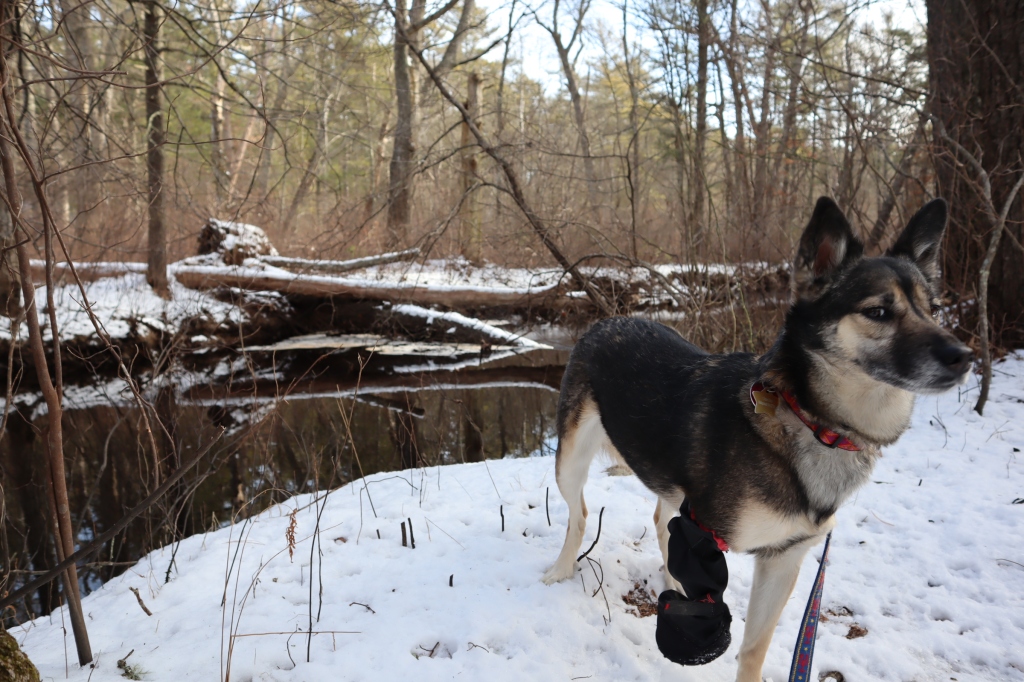
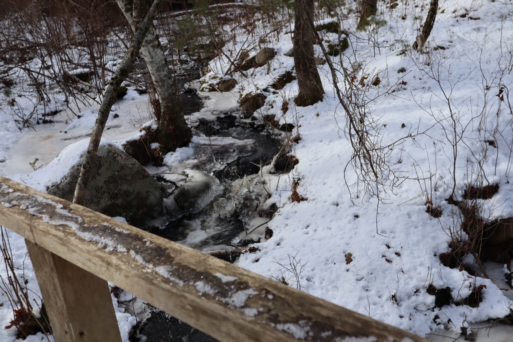
With many stops for photography, the full loop of about 1.75 miles total took my dog Autumn and myself about 50 minutes to complete. You could easily complete the entire loop in less time and or pick a shorter loop, there are options. I think my favorite part was walking along the flowing Weweantic river. Sorry for the shaky video, I need to invest in a gimbal. As always, get outside.
Tinkhamtown Woodlands in Mattapoisett MA – This Buzzards Bay Coalition trailhead is located at 29 Long Plain Road, is easily accessible and has a small dirt parking lot. We made the long 0.8 mile trek to Tinkham Pond from Long Plain Rd. in about 25 minutes. The well trafficked and marked trail has essentially no elevation gain, making this trail a good choice for a less arduous walk . There are a few spur trails, but they are overgrown and not maintained, it was fairly easy to pick to correct path. Total walk time round trip: about 1 hour.
My daughter Hadley counted 10 friendship rocks along the way. Theses painted rocks can be located on the trail on the Tinkham Pond side of the power line access road.We did not make it to the Vernal Pool, spring-summer is the best time to catch these seasonal pools.
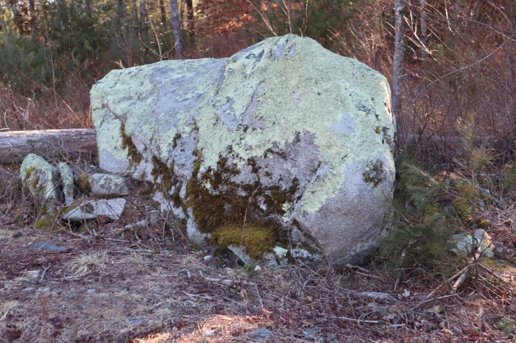
Classic New England Rock Wall
Old rock walls make up the fabric of New England. These walls were built by farmers and land owners to delineate property lines. They say that when these walls were built, much of the land was cleared for farming purposes.
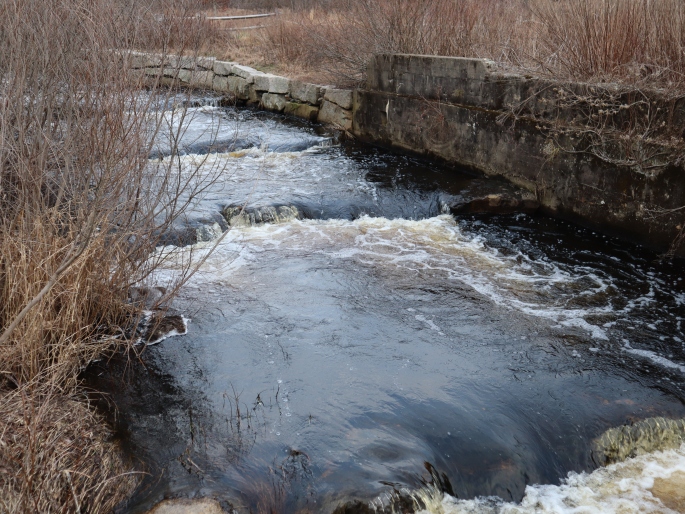
The Sawmill in Acushnet MA. This 19 acre site at Mill Pond is part of the Buzzards Bay Coalition, offers easy walking, and there is a nice parking lot adjacent to the trail head. I was looking to try out this BB Coalition site for a while and I am glad I did. Many of the Coalition walks are nestled in a very rural setting and can require some planning like a trail map and walking essentials. This site not far from New Bedford and just North of Main Street is quick to find, easy to walk, and ready to offer you a little peace of mind. Although you may want to wear boots and bring a snack, you will not need a GPS for this one, enjoy.
to Monadnock State Park in Jaffrey, NH. This park is about a 1.5 hour drive North West of Boston. Once clear of stressful city traffic, the remaining and relatively short drive through scenic New Hampshire was a welcome change from stressful highway driving. Depending on the route you take, there are different stores and restaurants along the way, use google maps to see what is around you. Like some other NH State Parks, this campground is open all year, in winter the shared and common water spigots are off and there is no electric at the sites. The comfort station was absolutely top notch, I was pleasantly surprised by how nice it was and actually went inside to warm up around 9pm on a cold winter evening while camping. This building is heated all year, has showers, bathrooms, a dish washing station and a water bottle filling station. As far as camping goes, it is apparently a busy place. There were about 6 parties tent camping in winter, so I can only imaging summer camping is busy. Note: As the NH website specifies, pre register for hiking and camping.
The campground:
The Headquarters campground has 10 tent sites, 10 group sites, and 1 pavilion. Another camping area is Gilson Pond, visit the linked NH State page for more camping details
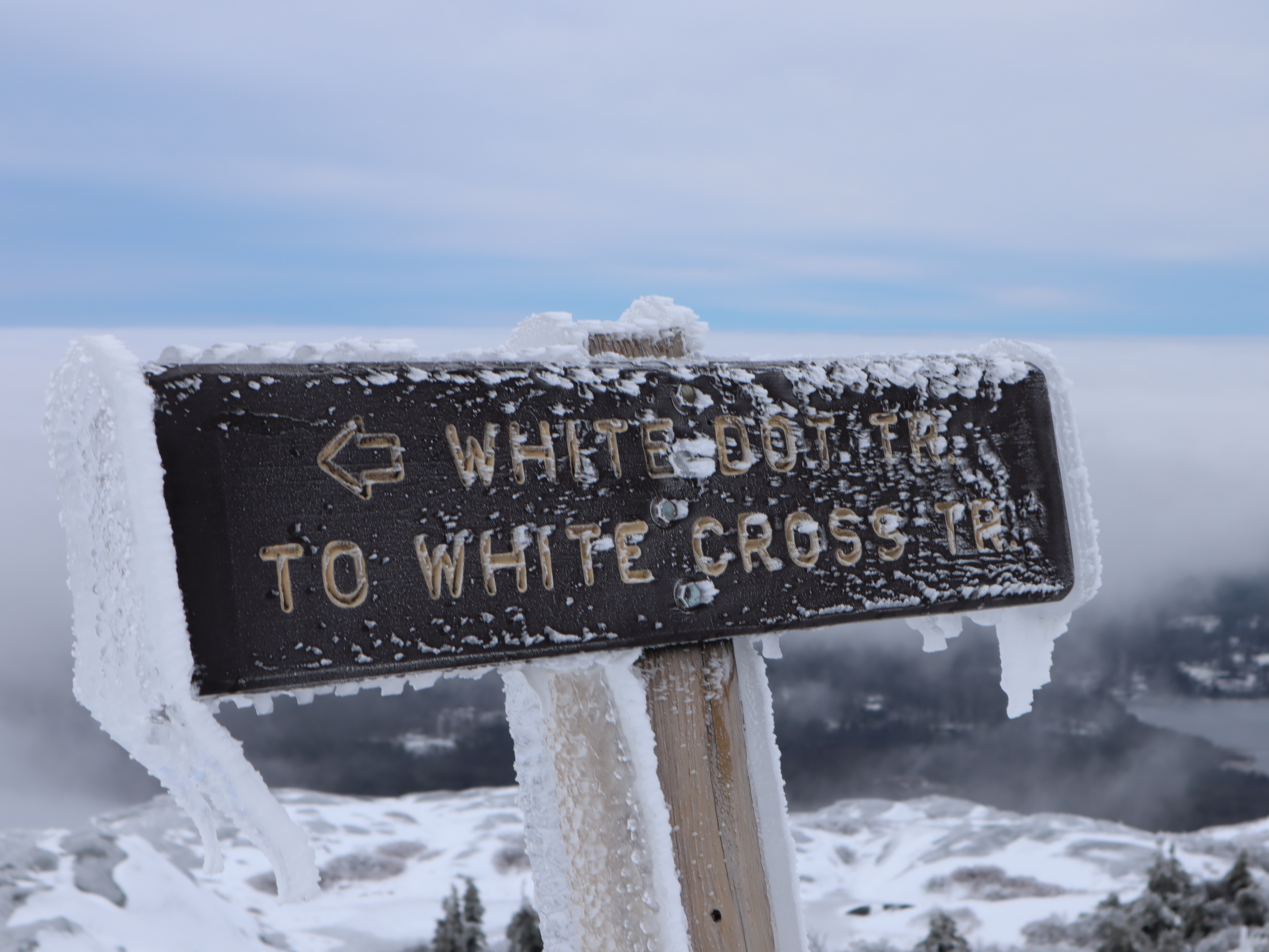
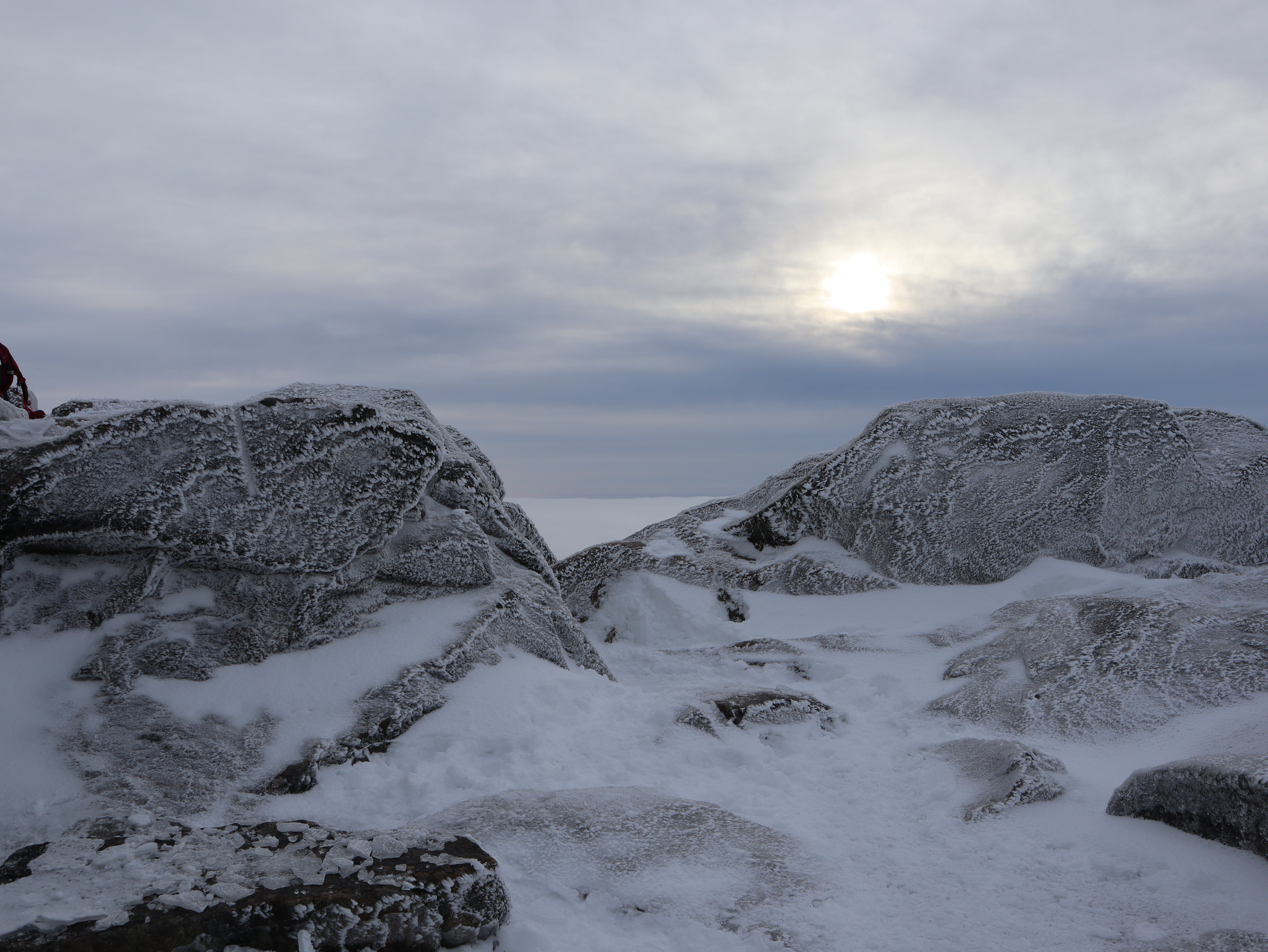
Before I hiked up to the top of Mt. Monadnock, I spoke to the super friendly store attendant and the on site ranger to gain insight. Additionally, before even leaving home, I looked up the trail maps on the park website. Another resource you can use to ascertain trail conditions is to look at the most recent alltrails app comments. The fastest way up is white dot, and the less steep way up and down is white cross, and yes it was less steep and only 0.2 miles longer. If you are unsure of your abilities, take white cross up and down. There are many other trails around the park with much less elevation gain, so if you are not up for the elevation gain there are other options. With the trail head at around 1400 ft., and the top of Monadnock at 3165 ft., the elevation gain is about 1765 ft. To put things in perspective the top of Mt. Washington at 6288 ft. from Pinkham Notch visitors center 2032 ft. , has an elevation gain of about 4256 difficult feet. It is said Mt Monadnock is one of the most hiked mountains in the world, enjoy – I did.